
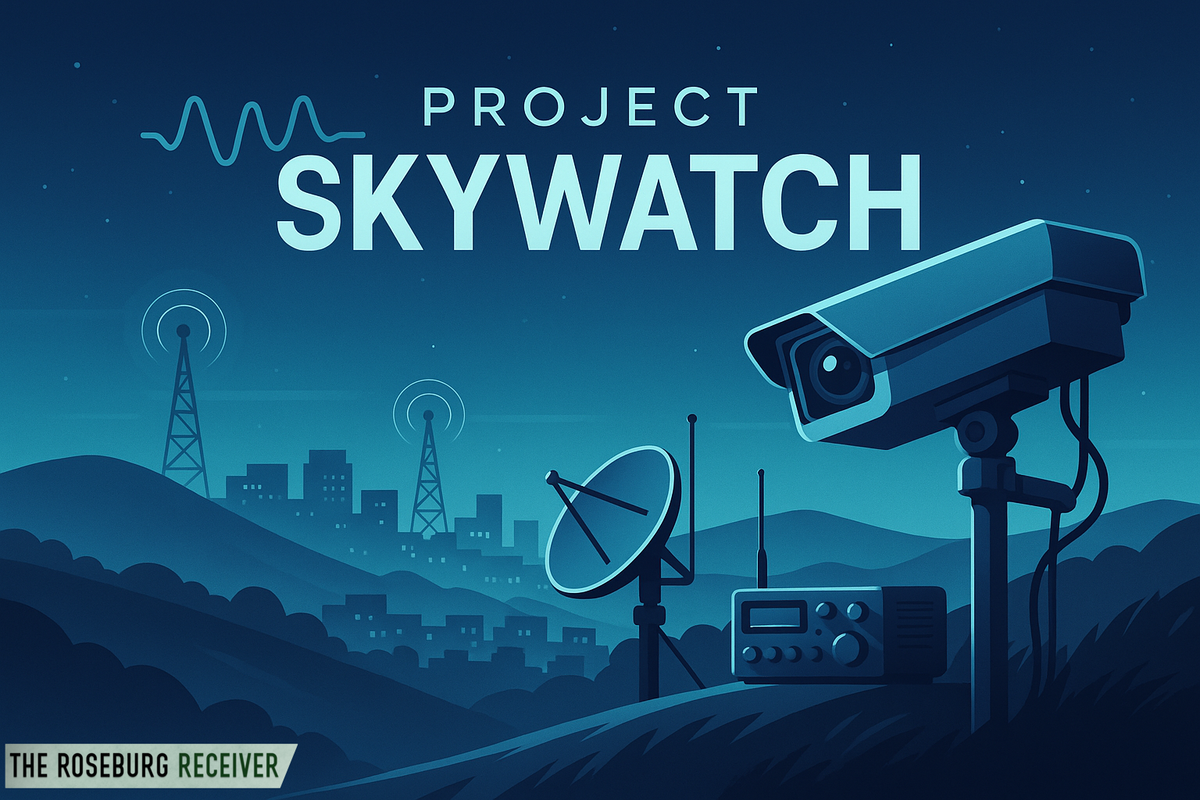
Project Skywatch Captures First 360° Preview of Future Camera View
Project Skywatch has released a stunning 360° drone preview of our future mountaintop camera location, showcasing panoramic views and hinting at the capabilities of our 30× zoom PTZ system. Watch the full video and join us as we prepare for live streaming later this year!
One of our friends took some drone footage while we checked out the area. This is the exact height and coordinates of our planned mountaintop installation, Project Skywatch now has its first full-panoramic preview of what our live camera will see. This 360° video gives you a taste of the sweeping vistas that will soon be available 24/7 - with over 30× optical zoom and full PTZ control.
What You’re Seeing
- A continuous, seamless pan around the ridgeline, from the surrounding forested hills to the distant horizon.
- True-to-life colors and clarity at peak elevation - exactly where our high-definition 360° PTZ camera will be mounted.
- The same vantage point that will help residents, visitors, and emergency responders keep an eye on weather conditions and wildfire activity across Douglas County.
Why It Matters
Project Skywatch was conceived to bring a real-time, publicly accessible eye on Mount Nebo and its surroundings. With over 30× zoom and pan-tilt-zoom functionality, our camera won’t just show the big picture, it will let you focus in on distant smoke plumes, weather fronts, scenic overlooks, or any point of interest.
Take a Look!
We invite everyone to watch the drone-captured 360° footage and imagine the possibilities. This proof-of-concept video is the first step toward launching a live stream that will rotate continuously.
🔗 Watch the 360° Preview Here:
Stay tuned for updates on our installation timeline and funding partners, To view information about Project Skywatch and learn how you can support, visit https://www.roseburgscanner.com/project-skywatch. Together, we’ll bring unprecedented visibility to our community’s skies and landscapes.

Comments ()