
Winter Storm Warning Remains in Effect for Southern Oregon Cascades and Siskiyou Mountains
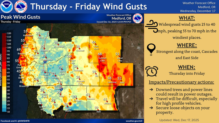
A Winter Storm Warning remains in effect for the Southern Oregon Cascades and Siskiyou Mountains through Thursday morning. Heavy snow, strong winds, and hazardous travel are expected, with up to 20 inches possible at higher elevations.

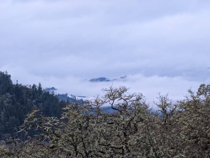
ROSEBURG, Ore. — A significant winter storm is impacting Southern Oregon, with heavy snow and strong winds expected to continue through Thursday morning, according to the National Weather Service Medford.
A Winter Storm Warning remains in effect from 4 p.m. Tuesday through 10 a.m. Thursday for the Southern Oregon Cascades and Siskiyou Mountains, including Diamond Lake, Crater Lake, Crescent Lake, Union Creek, Howard Prairie, Lake of the Woods, and Siskiyou Summit.
What to Expect
Forecasters say heavy snow will fall above 3,500 feet, with two main rounds of accumulation:
- Tuesday evening into early Wednesday morning:
- 4 to 10 inches of snow, mainly from Highway 140 northward
- Wednesday afternoon through Thursday morning:
- 8 to 20 inches in the Cascades
- 3 to 8 inches in the Siskiyou Mountains
Winds could gust up to 50 mph over high and exposed terrain, increasing the risk of blowing snow, reduced visibility, and falling tree branches.
Areas and Roads Impacted
The warning covers much of the high-elevation travel corridor in Southern Oregon, including:
- Highways: 138, 230, 140, 62 (down to around Union Creek), 66
- Interstate: I-5 near Siskiyou Summit
Officials warn that road and highway closures are possible, especially during periods of intense snowfall. Hazardous travel conditions may affect evening and morning commutes.
Travel Impacts and Safety
Drivers should be prepared for snow-covered, slippery roads and reduced visibility, particularly across mountain passes. Authorities urge travelers to delay trips if possible.
If travel is unavoidable:
- Carry chains and a winter travel kit (warm clothing, shovel, flashlight, food, and water)
- Allow extra travel time
- Check road conditions before departing by calling 511 or visiting TripCheck.com
Conditions may change rapidly as the storm evolves. Residents and travelers are encouraged to monitor the latest forecasts and warnings from the National Weather Service and local emergency officials.

Comments ()